Google Maps Has Reportedly Covered 98 Percent Of World’s Population
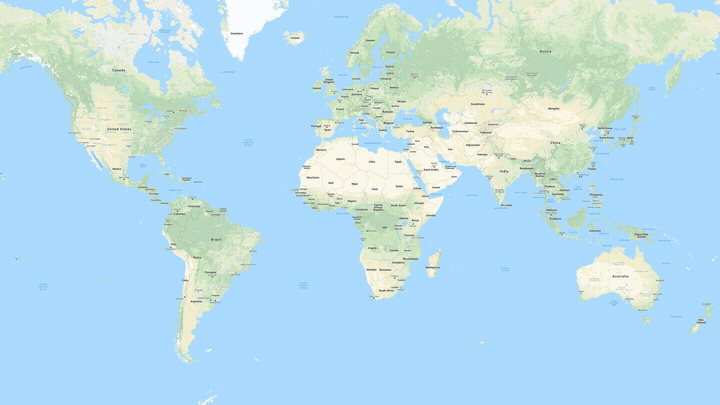
Google recently posted on its blog that its mapping service, Google Maps, has covered approximately 98% of the earth’s population. According to Thomas Escobar, Senior Product Manager, Google Maps, the search engine has captured more than 10 million miles of Street View imagery, all through the hard work of the company’s Street View cars and trekkers.
If you’ve never seen a Street View trekker, their work is both unenviable and far more arduous, as they are used to traverse areas that are otherwise inaccessible by a car. These trekkers are carried by boats, sheep, camels, and more often than not, on foot by scout troops. Who are able to obtain high-resolution images of these “not so easy to access” areas.
How Google manages to stitch all these photos resides in a technique known as photogrammetry. The technique isn’t new by any means and has existed since the early 1900s. Google explains that it uses the technique by using billions of images and piecing them together, in the same way one would put together a jigsaw puzzle.
Thanks to Google’s efforts in mapping out the people, cities, and geography, the app now allows Android and Google users to browse through more than 36 million square miles of areas pieced together by these satellite images.
As always, the Google Maps app is available on both Google Play and the Apple App store.
The post Google Maps Has Reportedly Covered 98 Percent Of World’s Population appeared first on Lowyat.NET.
from Lowyat.NET https://ift.tt/2YQXqjN
Labels: Lowyat

0 Comments:
Post a Comment
Subscribe to Post Comments [Atom]
<< Home